Image Analysis and GIS Training was Conducted for Forestry Department Staff
In August 2025, the project conducted a training session on image analysis and Geographic Information Systems (GIS) for staff from the Forestry Department.
During the training, the participants used forest images captured through drone surveys carried out between July and August 2025. They learned the basics of GIS software operation and how to generate 3D models using Structure from Motion (SfM) technology.
Participants actively engaged in hands-on exercises using their own laptops, demonstrating a strong commitment to learning. The session provided a valuable opportunity to acquire fundamental knowledge of image processing and GIS through practical experience.
We plan to continue conducting regular training sessions on image analysis and GIS throughout the project. This will enable participants to independently use drone imagery for comparison and analysis and apply these skills in their daily work.
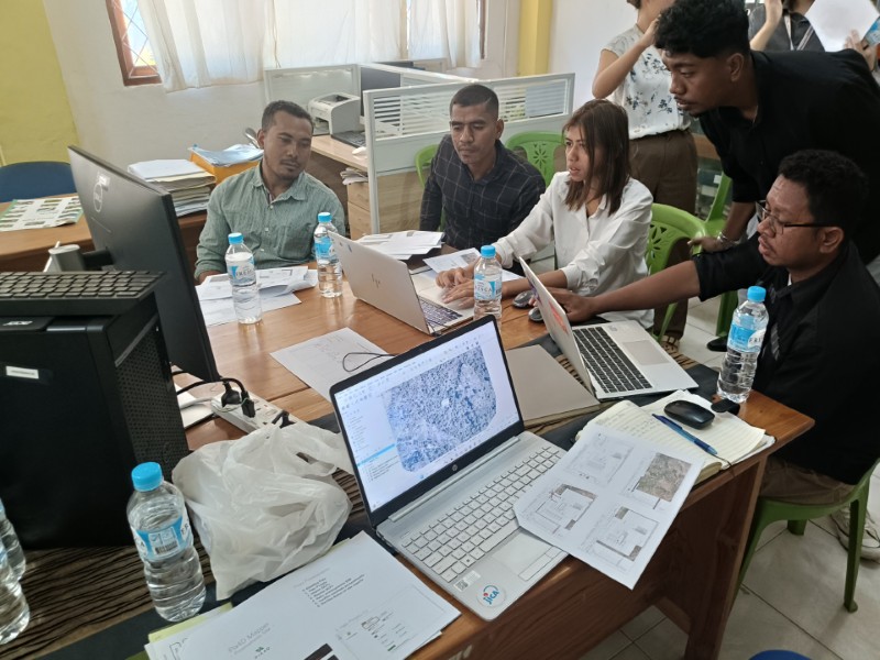
Operating GIS software during the training