

GIS counterparts continue capacity development in drone operation and image analysis
The project has been supporting two counterparts from the Directorate General of Forestry with GIS experience to enhance their skills in drone operation and image analysis using specialized software, with the aim of strengthening forest monitoring capacity. Since the start of the project, several training sessions have been conducted, through which the counterparts have learned the series of procedures required to assess forest conditions.
As the basic training on analysis workflows was completed by last year, the focus of this year’s activities has shifted to more practical exercises. Through assignment-based training, the counterparts are gaining hands-on experience and further strengthening their technical skills. Even during periods when Japanese experts are not present in Timor-Leste, the counterparts proactively work on exercises assigned by the experts and continue their remote training.
This continuous commitment to learning represents an important step toward enabling the counterparts to independently conduct forest monitoring after the project’s completion. The project will continue to provide technical support so that the counterparts can carry out the entire process from drone data acquisition to analysis and reporting on their own.
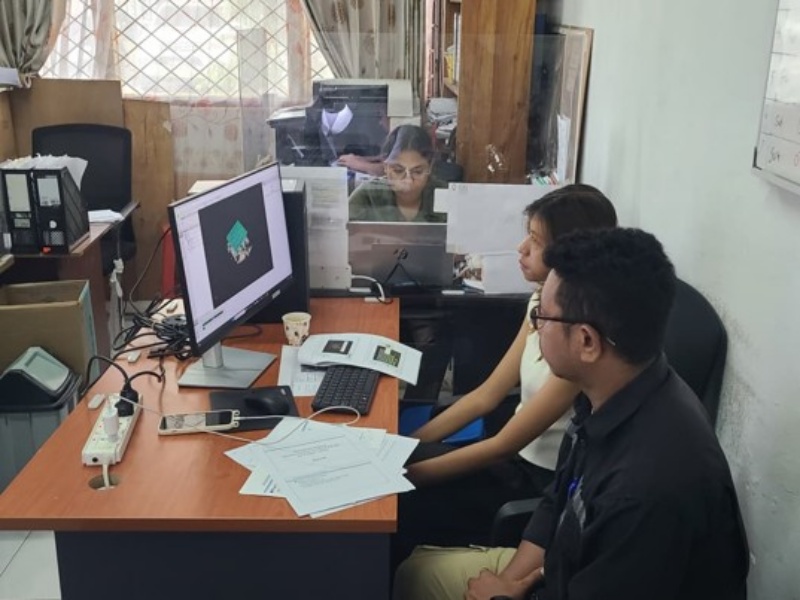
A counterpart working on a training exercise while referring to the manual