Forest surveys using drones were conducted in the Laclo, Caraulun, and Tafara watersheds
In August 2024, forest surveys using drones were conducted in three of four target watersheds: Laclo, Caraulun, and Tafara. These surveys were carried out to evaluate the effectiveness of the forest conservation activities of the project.
Five counterparts from the Forestry Department participated in the surveys and received practical training on drone operation. Although it was first time to operate drones for some participants, they learned operational procedures one by one and were able to master the basic operations on their own.
After the field surveys, a follow-up training session was held to reinforce the knowledge and skills learned in the field surveys. The training covered flight planning, drone operation, and how to analyze the images collected during the surveys.
From now on, the counterparts will take the lead in conducting the drone surveys in the target watersheds. They will take the images of the forest on a yearly basis and monitor forest conditions by comparing the images of different years.
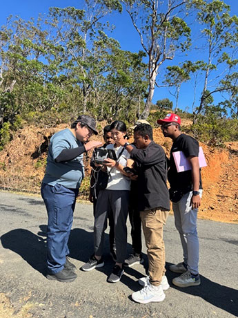
Photo 1: Instructing counterparts on drone operation
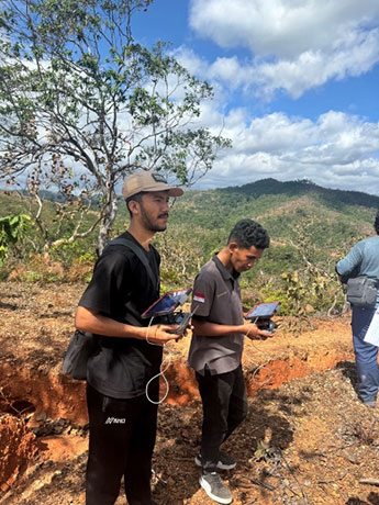
Photo 2: Counterparts operating a drone
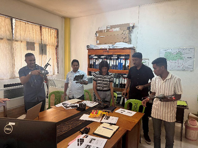
Photo 3: Counterparts participating in the follow-up training session