Pioneering measures to control forest fires by using satellite data and the PDMS
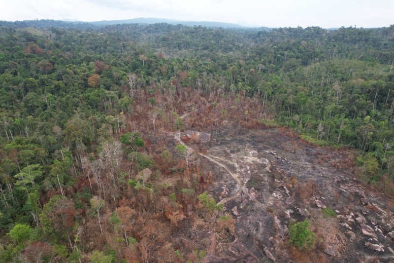
Every dry season, Laos faces recurrent forest fires and the serious social issues that result: the loss of precious forest resources and severe air pollution, including fine particulate matter (PM2.5). Finding and responding to fires across such vast forested areas is no easy task.
The Provincial Deforestation Monitoring System (PDMS) lies at the heart of the national effort to address this. Developed by JICA, the PDMS has been upgraded this year by integrating active fire data from satellites like NASA/VIIRS and Himawari. This allows for nationwide use and the monitoring of target forest areas in near real-time — rapid detection that helps Laos spot forest fires as early as possible. In fact, between January and mid-March 2026, the PDMS successfully detected 16,395 active fires across the country, providing figures that have even been used in official government reports. Furthermore, the system automatically sends fire alerts directly to local forest officials, enabling them to take quick initial action on the ground.
Turning this data into action requires close teamwork with local forest officials. With support from donors like the World Bank and GIZ/GCF, we have actively held practical PDMS training sessions this year. Starting with a pilot site in Bolikhamxay Province, training has expanded to other provinces, including Oudomxay, Bokeo, Luang Prabang, and Savannakhet. These sessions were designed for the dedicated staff at the Provincial and District Agriculture and Environment Offices (PAEO and DAEO) and even included automated drone flight exercises. Through such training and practice, we are helping build a stronger system that enables local forest officials to assess situations quickly and respond promptly to forest fires.
By bringing the latest technology to Laos through the PDMS and strengthening our local partnerships, major progress has been made in protecting the forests of Laos. However, the local forest officials in the field continue to face constraints. Even after a fire has been detected, taking immediate action and putting out the flames still remains a challenge. Our plan is to begin by compiling feedback from the field gathered during this dry season’s operations, with a view to further improving the functions of the system. With just six months left until the Project ends, we remain committed to the protection of the beautiful forests of Laos, providing support through a combination of powerful satellite data and close-knit collaboration with local forest officials.
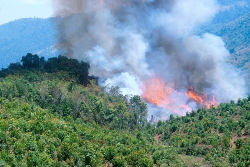
Forest fire in Laos