
Creating a Tourist Map Together: Cross-Sector Collaboration in Goroka
[Goal 4] Quality Education
[Goal 11] Sustainable Cities and Communities
2026.10.15


2026.10.15
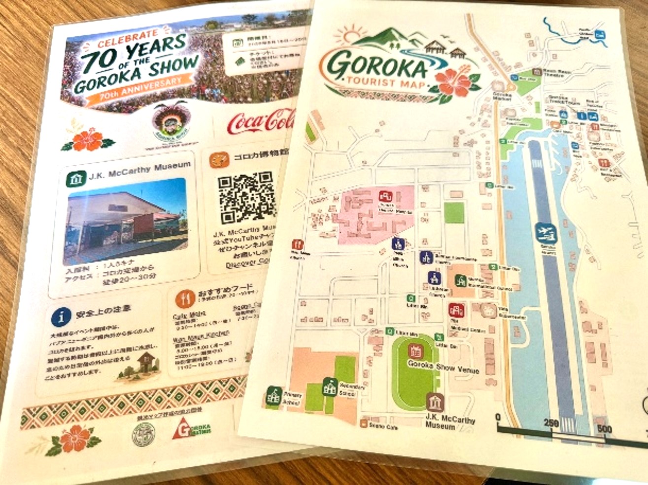
I am a JICA Volunteer in Computer Technology working with the J.K. McCarthy Museum in Goroka, Papua New Guinea, where I support activities related to cultural heritage conservation, information management, and digital preservation.
As part of our efforts to strengthen connections between the museum and the wider community, we recently developed the Goroka Tourist Map in collaboration with local partners.
Goroka has a variety of places of interest for visitors, including the museum, market, theatre, churches, restaurants, and hotels. However, for first-time visitors, it can be difficult to understand where these places are located and how far apart they are. The tourist map was therefore developed as a practical information tool to help visitors navigate the town and discover more of what Goroka has to offer.
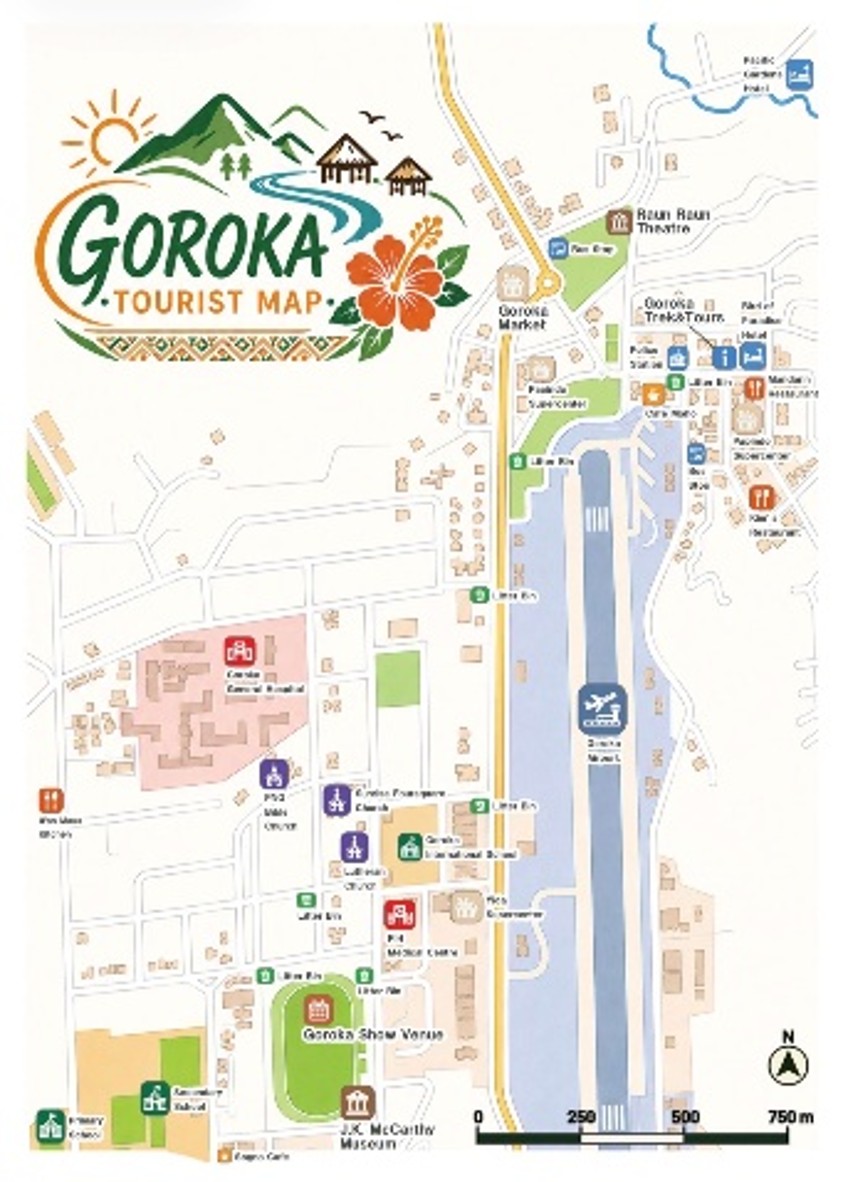
The completed Goroka Tourist Map: Front
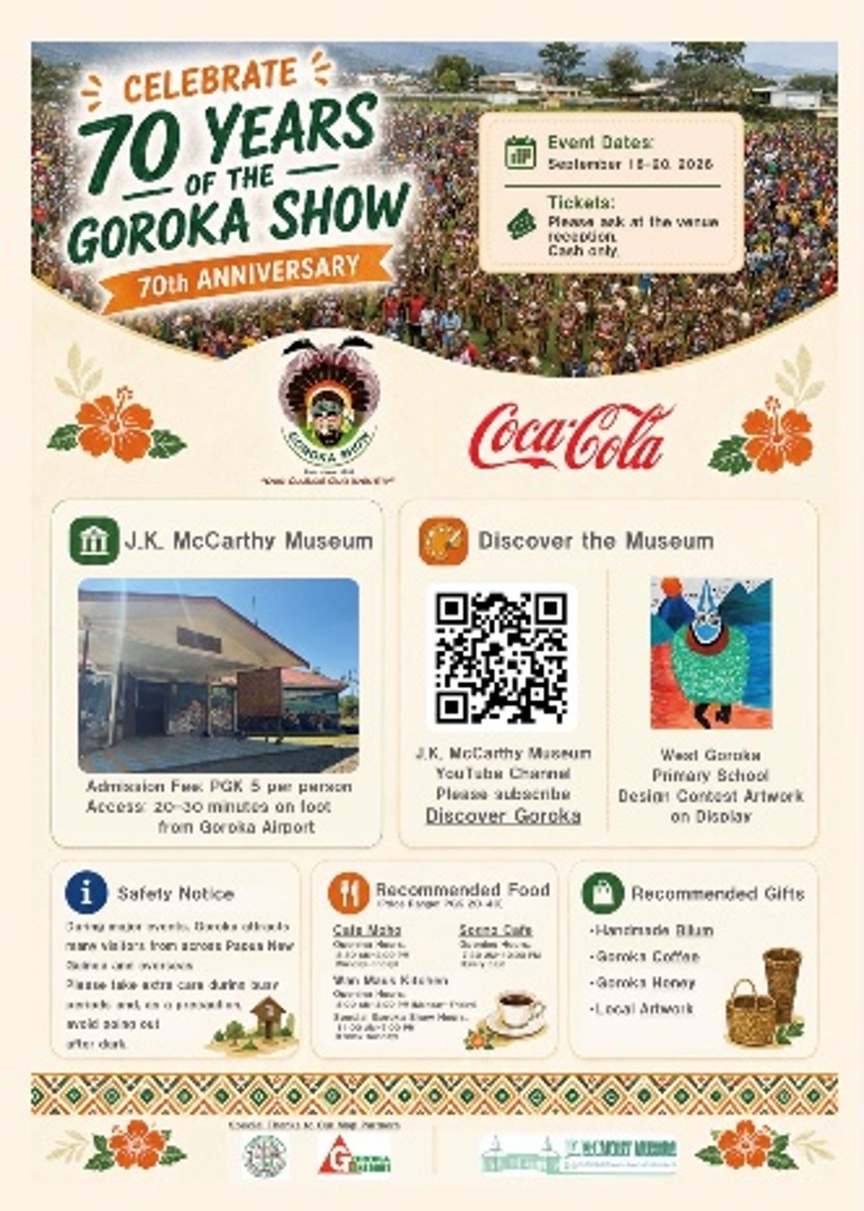
The completed Goroka Tourist Map: Back
A key feature of this initiative was that the map was not developed by the museum alone. It was created through collaboration among local government, the private sector, a school, and the museum.
The main partners were the Goroka Urban Local Level Government and Goroka Trek & Tours, a local tourism operator (organization names are listed without honorifics and in no particular order).
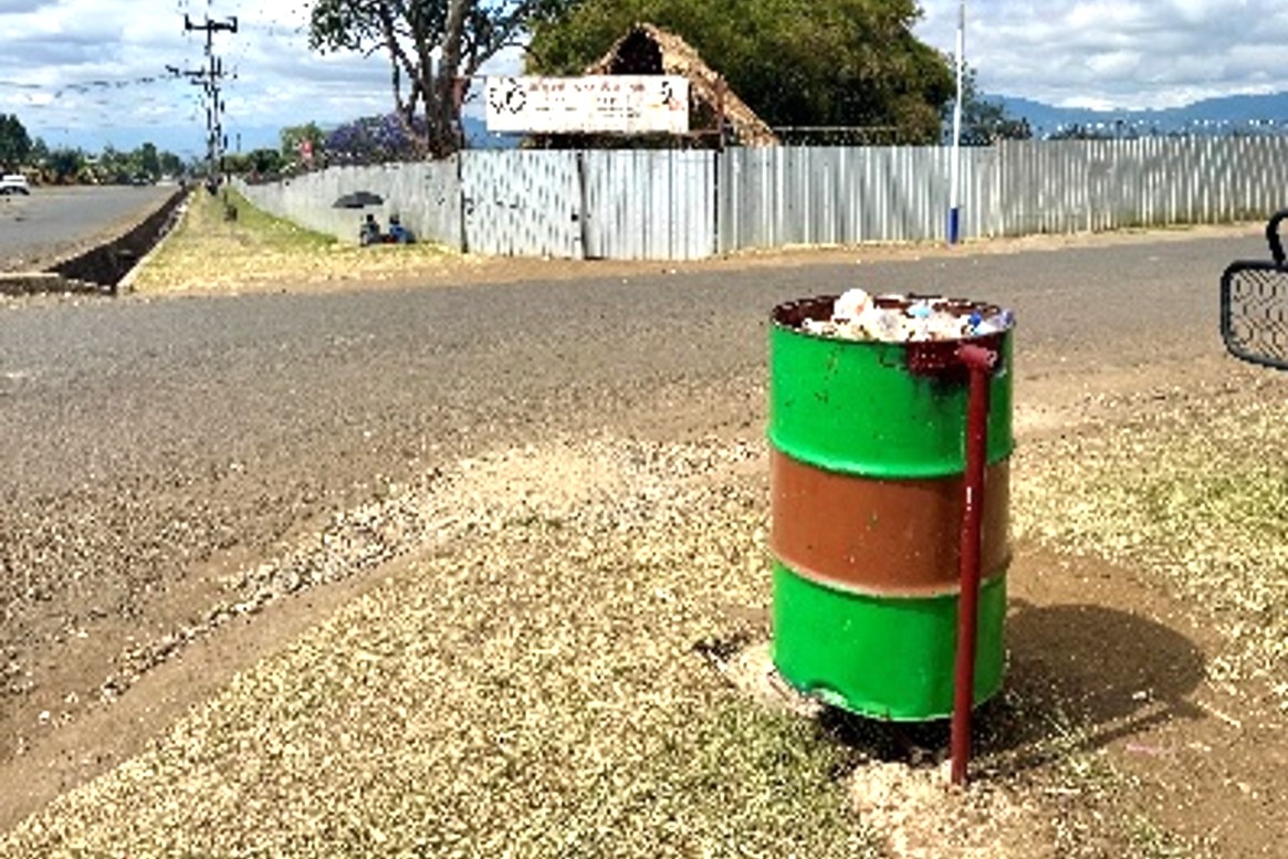
Working with a JICA Volunteer in Environmental Education assigned to the Goroka Urban Local Level Government, we confirmed local information, including the locations of public litter bins and other features of the urban environment.
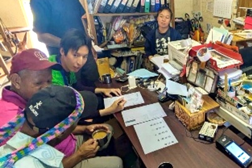
Goroka Trek & Tours also provided input from a visitor’s perspective, including useful information for tourists and places to highlight on the map.
West Goroka Primary School, with which the museum had previously collaborated through a student Design/Art Contest, also contributed to the project. One of the students’ artworks from the contest was featured in the tourism information materials accompanying the map (Children Express Papua New Guinea’s Culture: West Goroka Primary School Design/Art Contest).
By bringing together the knowledge and perspectives of local government, a tourism business, a school, and a cultural institution, the project became a cross-sector initiative rooted in the local community. Each partner contributed different types of information and expertise to help shape the final product.
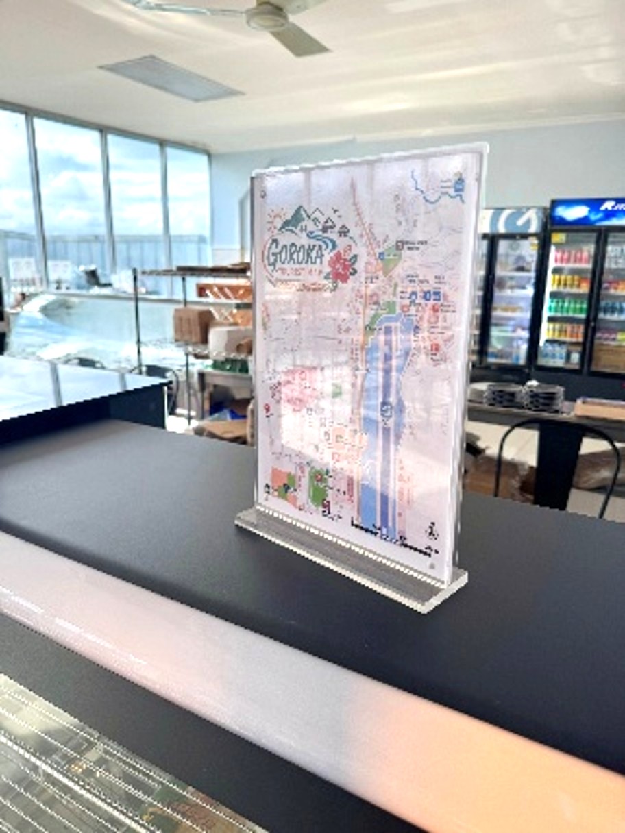
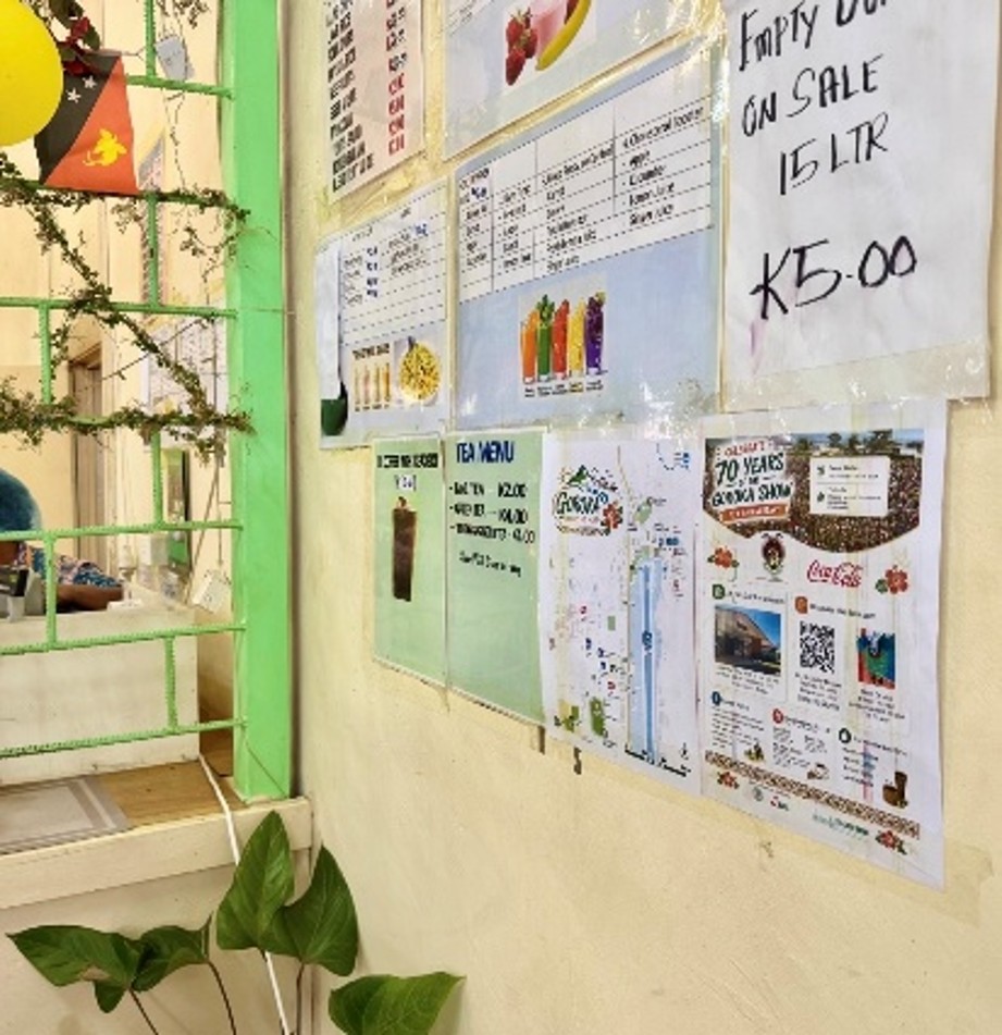
The completed tourist maps have been placed not only at the J.K. McCarthy Museum but also at partner locations in Goroka, allowing visitors to pick up a copy or use displayed maps to find information about the town. Seeing a design that was originally developed on a computer become a practical source of information used within the community has been a meaningful outcome of the project.
This initiative also highlighted that developing a useful tourist map requires more than design skills alone. Local government contributed knowledge of the town and public spaces, the tourism operator brought a visitor’s perspective, the school contributed local perspectives and creative input, and the museum contributed cultural and tourism-related information. Bringing these different perspectives together helped create a resource that is better tailored to local needs.
We hope the Goroka Tourist Map will help visitors learn more about the town and encourage them to explore the museum, local businesses, and other places in the community. We also hope to continue improving the map by getting feedback from visitors and local stakeholders.
As a JICA Volunteer in Computer Technology, I have also learned that ICT and design are not simply technical tools. They can help connect people and organizations and present local information in a form that is easier to understand and use.
Related Link
ten
・JICA and PNG Health Partners Agree on Landmark Malaria Elimination Research Initiative
・Children Express Papua New Guinea’s Culture: West Goroka Primary School Design/Art Contest
・JICA-JDS Scholarship Program: Grant Agreement Signed for New Batch of Scholars
Please also visit our Facebook for our latest activities and events news
JICA Facebook Page
Sns share!


